
On Saturday, May 11, the Louisville Free Public Library hosted its eleventh annual “How-To Festival” at the Main Library on York Street. The day’s program, “Learn 50+ things in 5 hours”, was a free, interactive learning extravaganza featuring a wide variety of “how-to” sessions taught by local experts and outdoor gardening tents sponsored by the Urban Ag Coalition. The program included how-to sessions on identifying water leaks, painting with watercolors, using an abacus, chair yoga, identifying trees, making humus, raising urban livestock, and a session on using LOJIC maps… among many others.
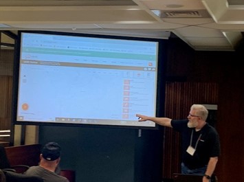
In a mid-morning session, LOJIC's Hank Pritchard and Curt Bynum gave an introduction to and demonstration of our community’s rich GIS maps and apps publicly available on the web. Curt opened the session with a historical overview of the LOJIC partnership and its beginnings. Hank followed with an overview of the LOJIC Map Hub and Open Data Portal and gave an extensive demonstration of the widely used LOJIC Online web application. Metro Data Office’s Andrew McKinney attended and assisted in the Q&A session.
Based on comments from library staff, LOJIC will be invited to participate in all future How-To Festivals.