Each year the third week of November is "Geography Awareness Week", established in 1987 by proclamation by President Ronald Reagan as an opportunity to emphasize the importance of geography education for our modern world. In 1998, Wednesday of Geography Awareness Week was designated as "GIS Day" to highlight the many important uses of geospatial technology around the world.
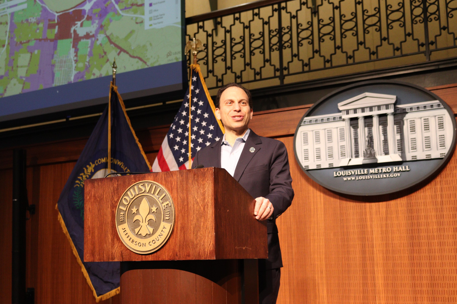
This year our LOJIC user community celebrated GIS Day and the 35th anniversary of the LOJIC partnership with a half-day gathering and program of GIS presentations hosted at Metro Hall. Metro Mayor Craig Greenberg opened the event with a welcome and shared his experiences using LOJIC web maps as a guide for walking local neighborhoods and visiting every precinct in our community... even kayaking to the lone uninhabited precinct oddly located in the Ohio River.
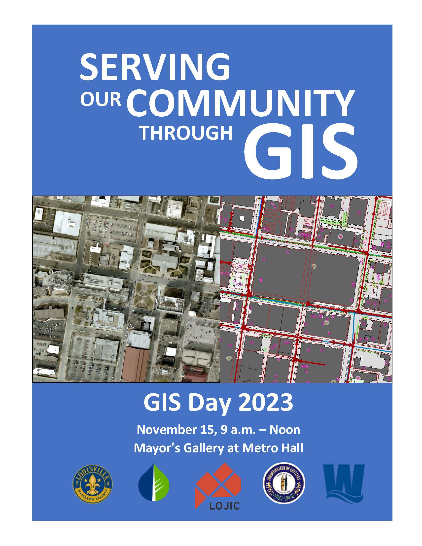
The GIS Day theme, "Serving Our Community Through GIS", was evident in the program of speakers and presentations from each LOJIC partner: Metro Government, Louisville Water, Metropolitan Sewer District, and Property Valuation Administrator.
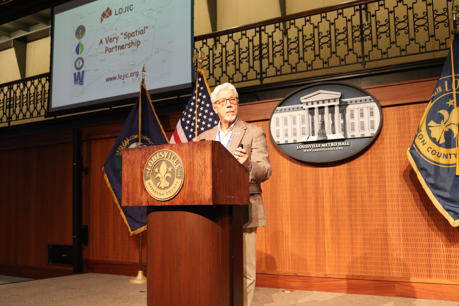
LOJIC Director, Curt Bynum, served as program emcee and presented "LOJIC: A Very 'Spatial' Partnership" to share backstories, history, and local need for county-wide mapping that led to the formation of the LOJIC partnership.
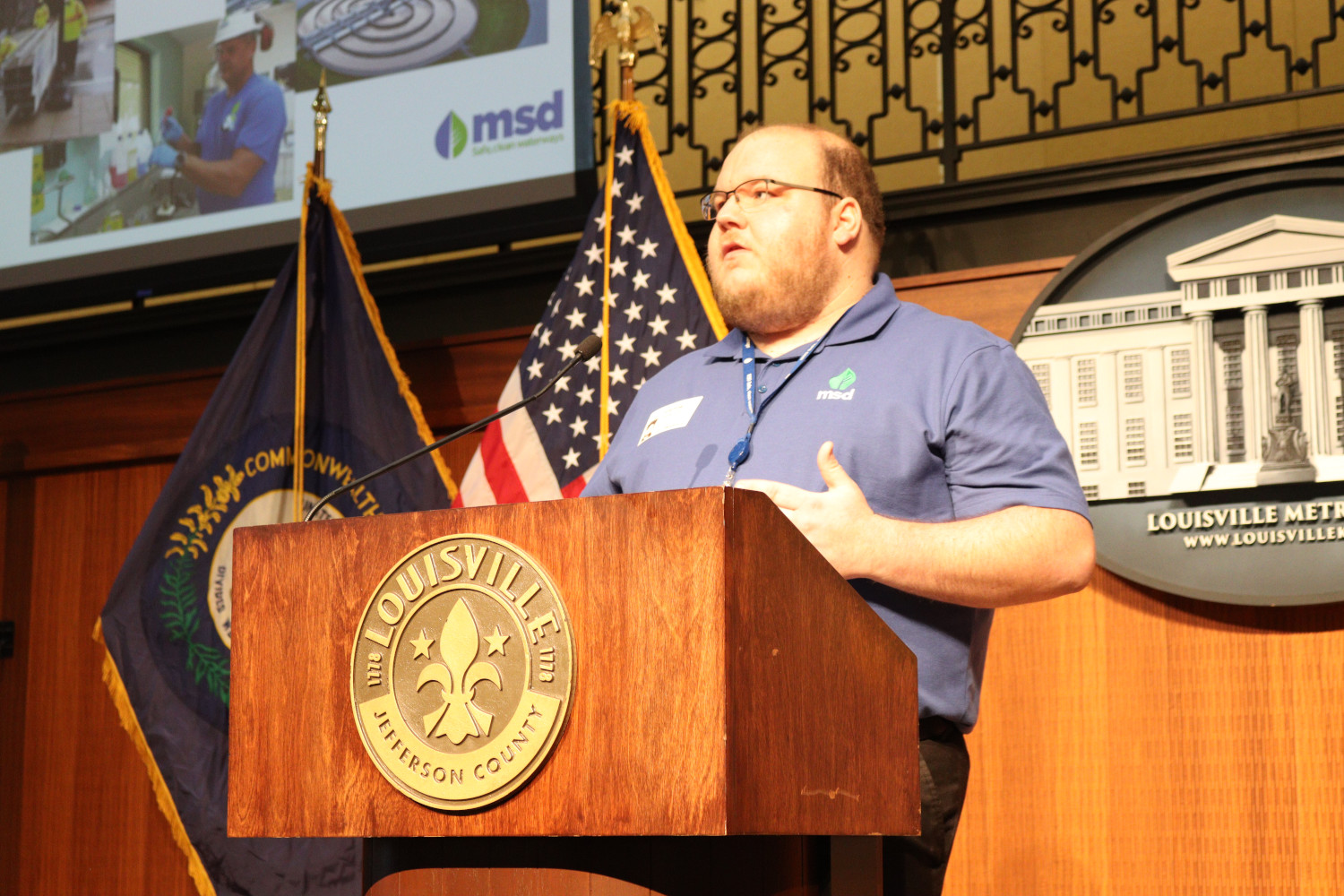
Geramy Kurtz, MSD GIS Analyst, presented "Mow-tastic Mapper: Where Grass Meets Maps", a demonstration of
Louisville MSD Mowing, MSD's interactive, public web map of mowing and restoration areas and tips on migrating the web application to Esri's Experience Builder.
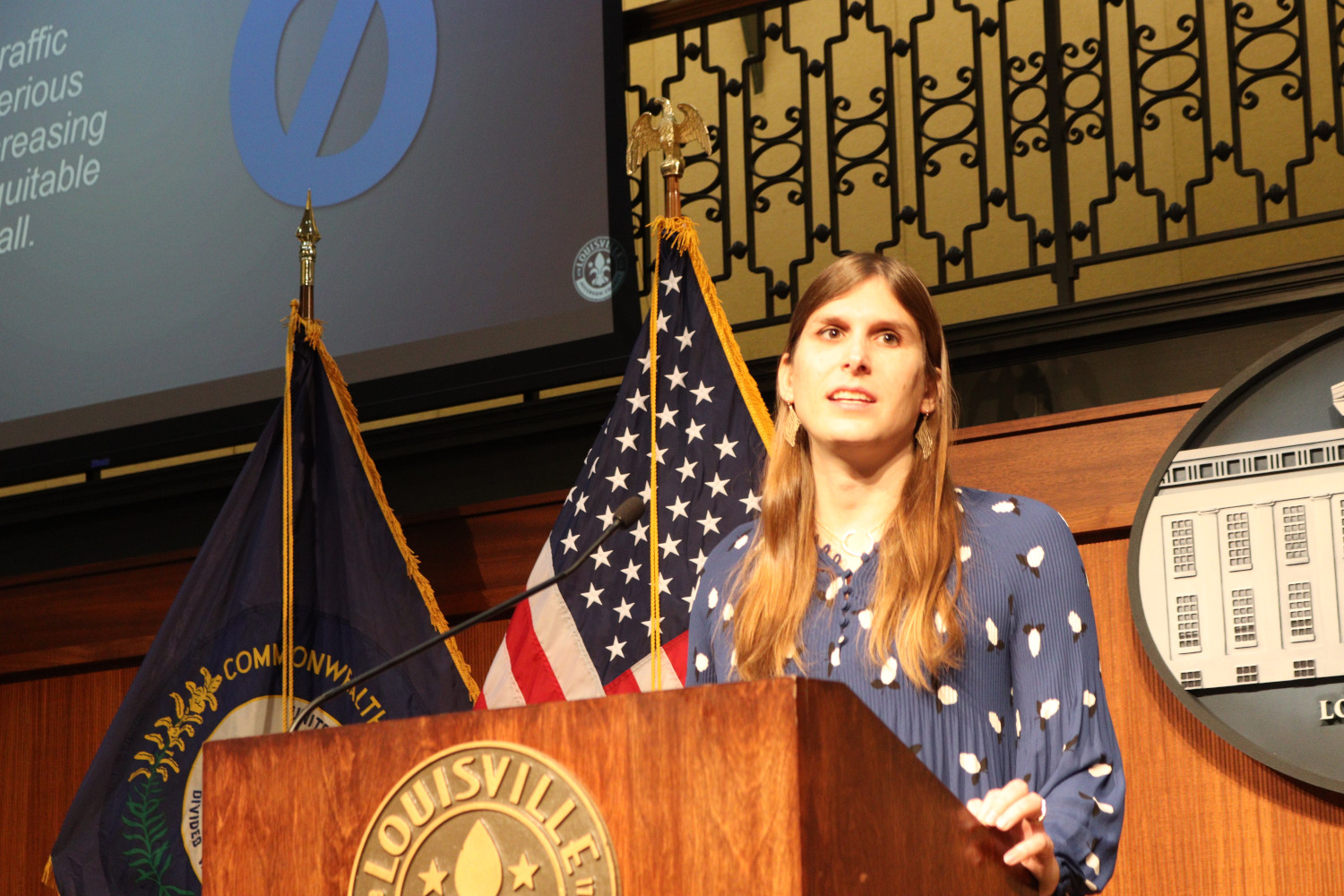
Claire Yates, Metro Public Works Transportation Planner, presented the
Vision Zero Louisville initiative and demonstrated its extensive
Dashboard of local traffic accidents. Vision Zero Louisville received a
Special Achievement in GIS award at last summer's Esri User Conference in San Diego.
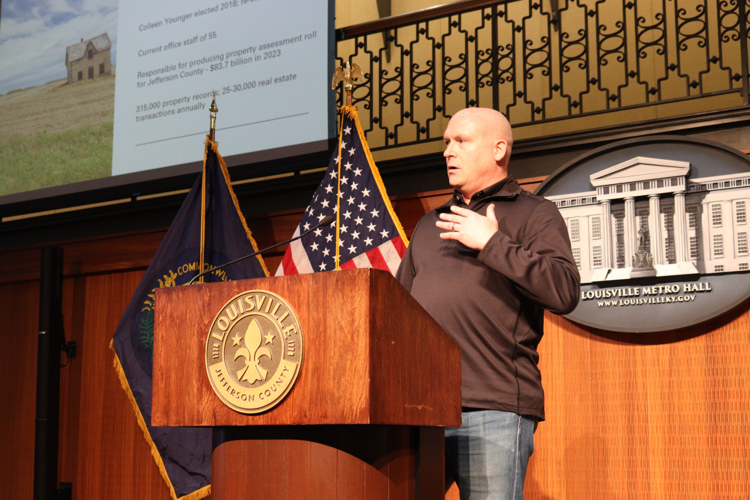
PVA GIS Deputy Jay Mickle's presentation, "Yes, We Have Farms in Jefferson County", described how PVA uses a custom LOJIC application to quickly factor agricultural area, soil types, terrain slope, structures, and other elements to generate property assessments for the more than 1,100 farms in Jefferson County.
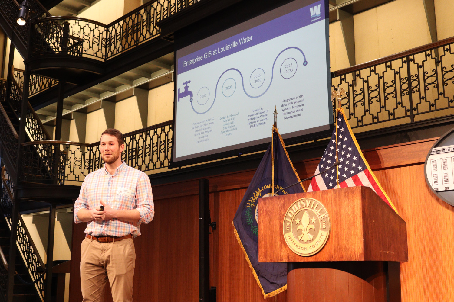
Jordan Basham, Louisville Water Director of Infrastructure Planning & Records, and Eric O'Neal, GIS Applications Developer, demonstrated the use of GIS in developing "Louisville Water's GIS-based Criticality Model for Water Infrastructure", part of their Enterprise Asset Management Program and Business Risk Exposure rating for all assets.
Metro Housing/Community Development Operations Coordinator, Nathaniel DeSpain, presented the use of LOJIC for mapping and managing Metro's first property condition survey to support data-driven decision-making on resolving vacant and abandoned properties.
In lieu of a gallery of paper maps, a rolling slideshow of over 50 screen shots of a wide variety of GIS applications, interactive maps, posters, models, and LOJIC GIS uses was on display during the event.