LOJIC Acquiring Spring 2018 Aerial Photos
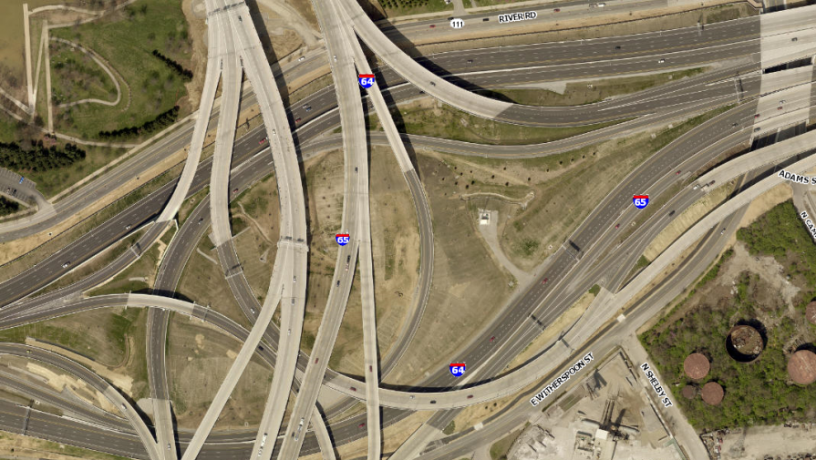
LOJIC will acquire Spring 2018 aerial photography, LiDAR (Light Detection and Ranging) elevation data and updated planimetric, hydrographic and topographic mapping for Jefferson, Oldham and Bullitt counties through a partnering agreement with the Jefferson County PVA and EagleView. (EagleView was formerly known as Pictometry.)
The new aerial photography will be 3-inch resolution (2016 aerial photography was 4-inch) and LiDAR points will be sub-meter spacing and classified as bare earth, high-medium-low vegetation, buildings and water bodies. Flights to capture the aerial photography and LiDAR data covering the nearly 1,000 square mile area will begin in late March/early April with final delivery of the aerial photography and LiDAR data this fall.
Planimetric (building, roads, sidewalks, driveways, etc.) and hydrographic (streams, ponds, etc.) data will be updated in areas having new developments and major construction. The topographic (contours) data will be updated over the entire three-county area. This updated data should be available by early 2019.