The newest addition to the LOJIC web site is the Metadata Search. This allows GIS professionals, decision makers, contractors and the public to learn more about the GIS data layers curated and published by LOJIC. Metadata tells the story of the various data that LOJIC exposes to LOJIC partners and the public through its online maps, stores in its Enterprise database and makes downloadable through the LOJIC Open Data portal.
LOJIC’s desire is to make hundreds of datasets accessible and transparent by allowing keyword searches through Google’s state of the art search engine. In contrast to traditional metadata sites, where end users scroll through copious tagged data, LOJIC has gone the extra mile by ensuring quicker discovery through delivery of metadata content in orderly tab driven web pages.
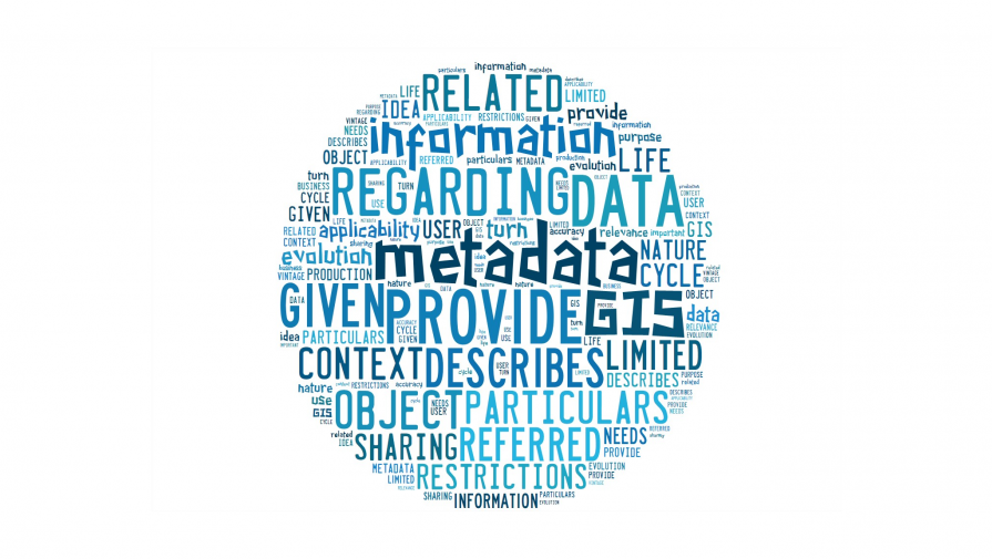
When a data author shares the story of their data, it can include hundreds or thousands of structured elements that describe the ‘who, where, what, why and how’ of the data, answering the following questions: What is its business purpose? Who created it? How was it created? What is its spatial properties? When was the information created? What is the data’s source? What is its limitation of use?
Whether you are a GIS analyst, government administrator, policy analyst, consultant or citizen, you require an understanding of the data to make accurate and credible decisions. LOJIC provides data that supports vital operations, strategies and decision making by our partner agencies. Metadata allows LOJIC partners to wisely utilize each other’s data interdependently, whether that is MSD maintaining wastewater and drainage facilities,Louisville Metro Government’s MetroSafe maintaining addresses and streets to ensure timely emergency response,the Jefferson County PVA providing property data for the county, or the Louisville Water Company utilizing data to ensure clean drinking water for the community.
Behind the scenes, LOJIC data experts have created Metadata Standards to guide authoritative subject matter experts across our LOJIC partner agencies who provide vital data published in the LOJIC Enterprise database. These standards facilitate effective data governance to ensure that data meets a high level of accuracy and credibility and effective communication across the distributed network of data authorities who continue to create current, value-added data.
We encourage you to explore Louisville’s physical and social landscape by starting your expedition with our Metadata Search. Feel free to contact us if you have any questions.