LOJIC GIS Day - A Big Hit!
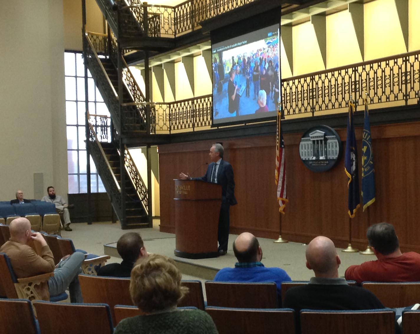
On November 17, 2017, LOJIC hosted a GIS Day event in the Mayor’s Gallery at Metro Hall. The event was attended by GIS practitioners, consultants, educators and students from across our community. Mayor Greg Fischer addressed attendees and spoke on the importance of geospatial data and technologies in Louisville.
The day’s program included six presentations on our community’s uses of GIS:
- Analyzing human trafficking: Chris Alldredge, LOJIC
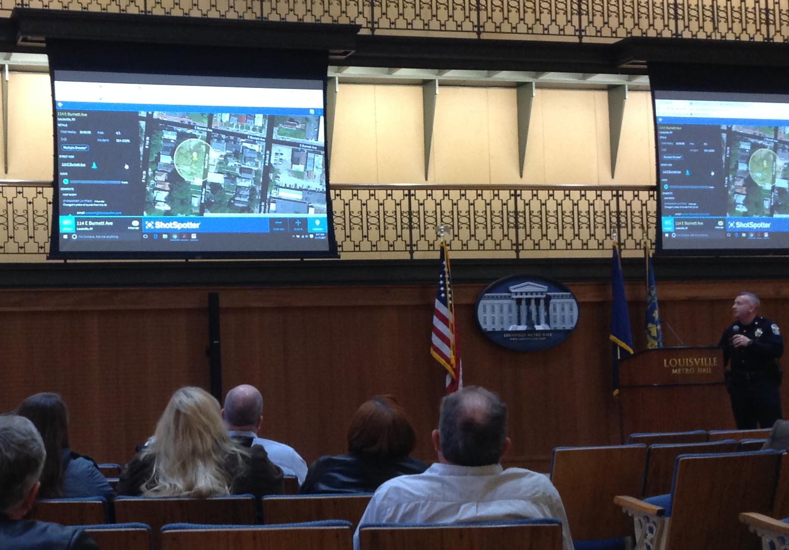
- Remote sensing of urban gunfire: Maj. Josh Judah, LMPD
- Modeling and planning for catastrophic flood events: J.P. Carsone and Gary Coates, MSD
- Managing land records: Jay Mickle, PVA
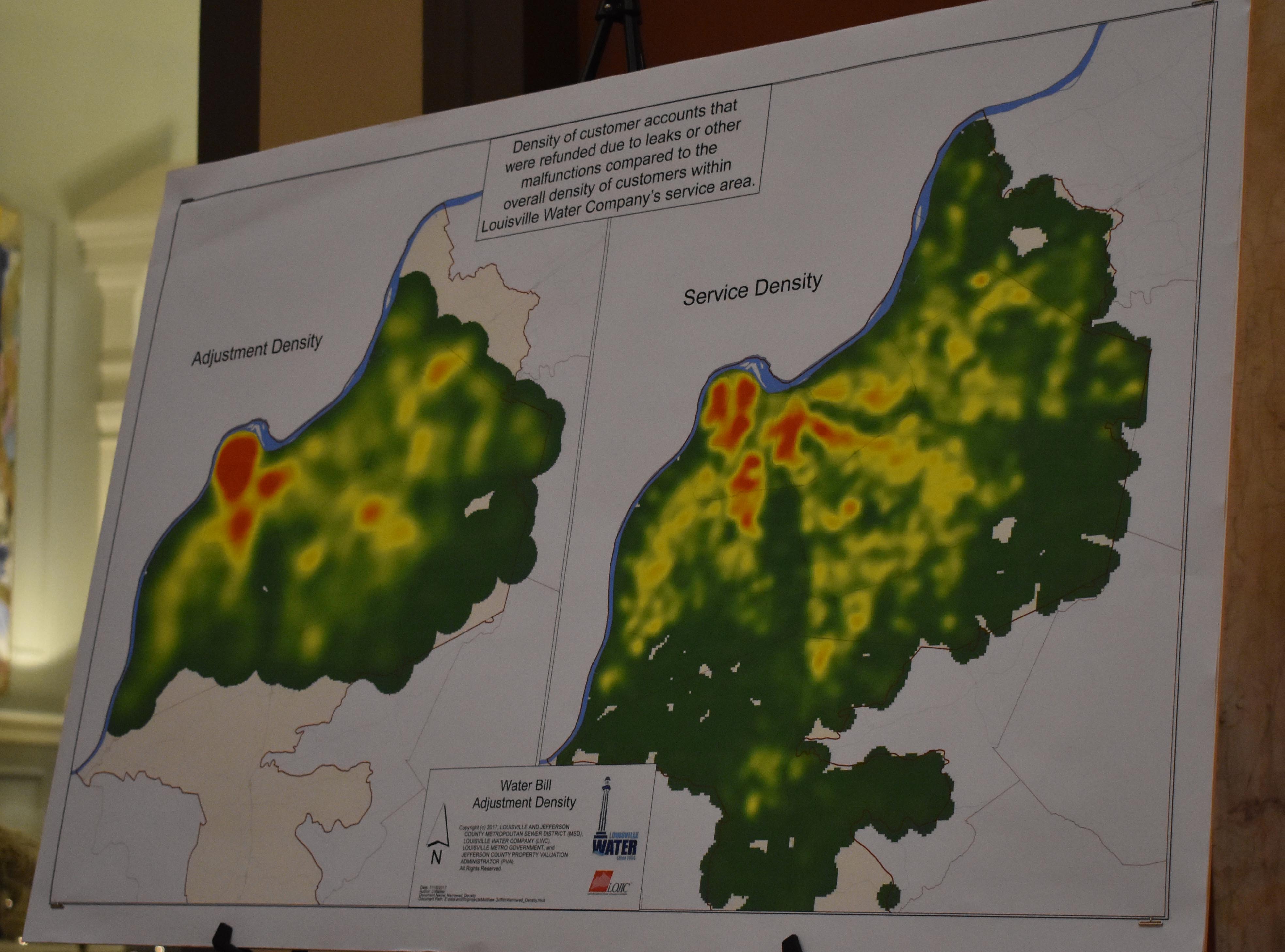
- Web-GIS citizen notices for water main breaks and boil water alerts: Eric O’Neal, LWC
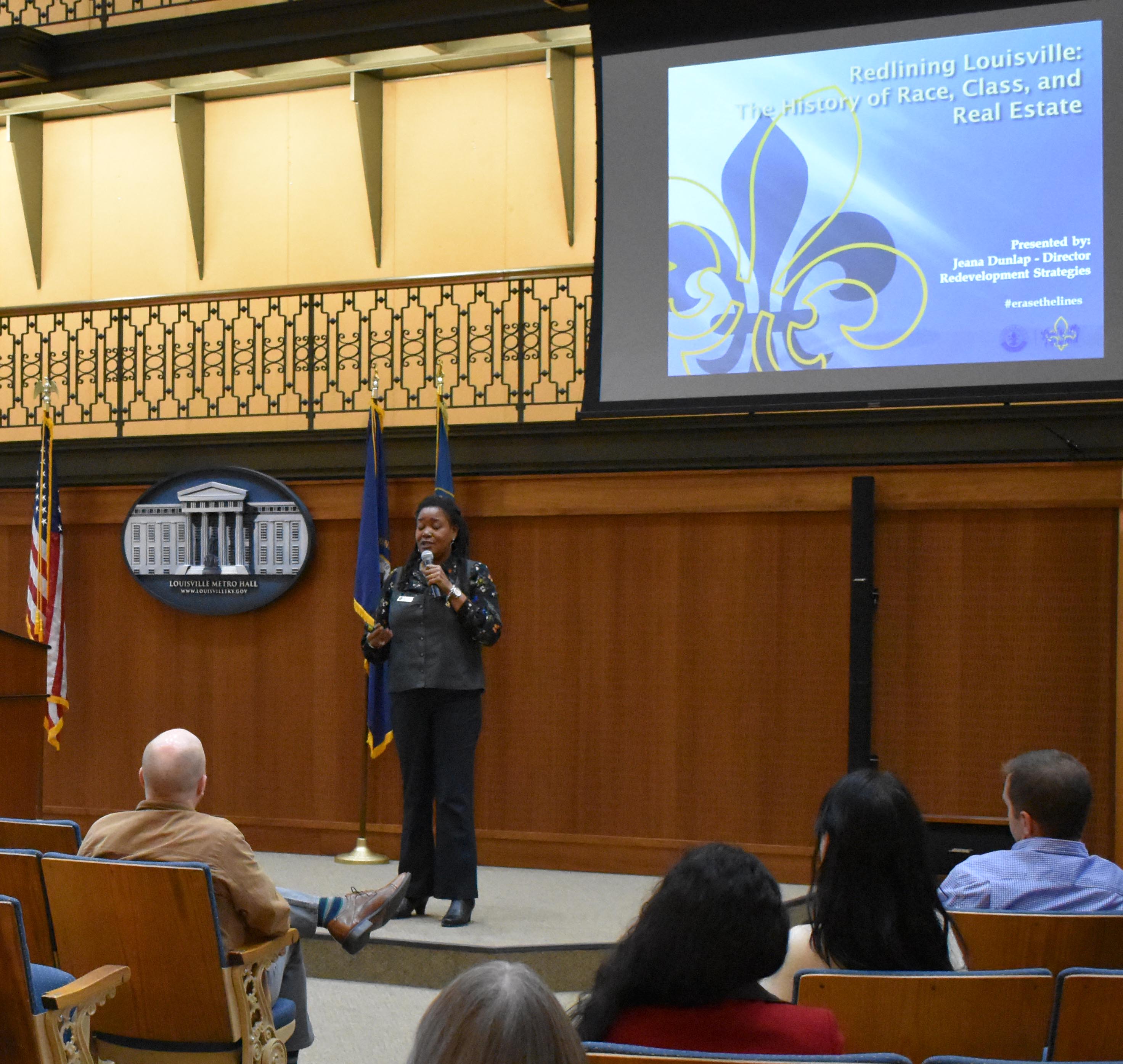
- Examining the history of “redlining” in Louisville: Jeana Dunlap, Metro Government
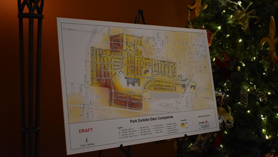
In addition to the program of presentations, a diverse gallery of maps created by LOJIC users were displayed around the Metro Hall rotunda foyer beautifully decorated for the holidays.